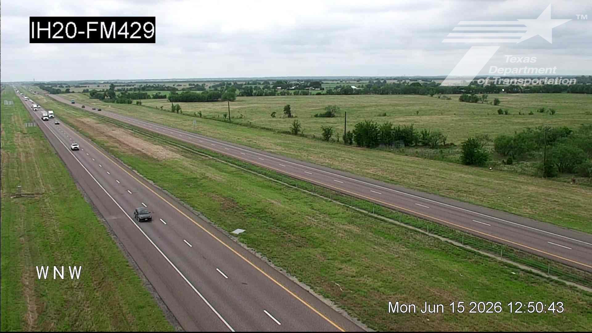
Live Traffic Camera: IH20 @ FM429 (East)
Unknown, Texas
All cameras on I-20 in Texas →This traffic camera monitors I-20 in Texas, with a eastbound view.
A National Weather Service alert for Air Quality Alert is active for this camera area. Review the alert details below before traveling.
Current weather near this camera is dry, with clear sky and temperatures near 76 °F.
The live view is most useful for checking traffic flow, visibility, and any lane restrictions before driving through the Kaufman County area.
Other cameras at this location (I-20 - ~1640ft)
- ● IH20 @ FM429 East
- ● IH20 @ FM429 East
Camera Information & Location Details
- Highway/Roadway
- I-20
- Traffic Direction
- East
- County
- Kaufman
- City
- Unknown
- Feed Type
- Still Image
- Geographic Coordinates
- 32.68399, -96.20783
- Source Provider
- TxDOT
Real-Time Mapping
Active Weather Alert near this camera
Conditions are favorable for hazardous weather nearby, even if the current camera view looks calm.
Air Quality Alert
Air Quality Alert issued August 2 at 3:31PM CDT by NWS Fort Worth TX
AQAFWD The Texas Commission on Environmental Quality (TCEQ) has issued an Ozone Action Day for the Dallas-Fort Worth area for Monday, August 3, 2026. Atmospheric conditions are expected to be favorable for producing high levels of ozone air pollution in the Dallas-Fort Worth area on Monday. You can help prevent ozone pollution by sharing a ride, walking, riding a bicycle, taking your lunch to work, avoiding drive-through lanes, conserving energy, and keeping your vehicle properly tuned. For more information on ozone: Ozone: The Facts (www.tceq.texas.gov/goto/ozonefacts) Air North Texas: (www.airnorthtexas.org) EPA Air Now (www.airnow.gov/index.cfm?action.local_state&STATEID=45&TAB=0) Take care of Texas (www.takecareoftexas.org) North Central Texas Council of Governments Air Quality (www.nctcog.org/trans/air/index.asp)
- Active until
- 2026-08-03 23:45:00 UTC
- Certainty
- Unknown
- Area
- Wise; Denton; Collin; Hunt; Parker; Tarrant; Dallas; Rockwall; Kaufman; Hood; Johnson; Ellis; Henderson
Current Weather near traffic camera in Unknown, Texas
Clear sky
- Temperature
- 76.0 °F
- Feels Like
- 75.4 °F
- Humidity
- 50%
- Wind
- 5.9 mph
- Wind Direction
- E (101°)
- Precipitation
- 0.00 inch
Forecast
- Max
- 103.4 °F
- Min
- 72.2 °F
- Precip.
- 0.00 inch
- Status
- Clear sky
- Max
- 107.7 °F
- Min
- 75.3 °F
- Precip.
- 0.00 inch
- Status
- Clear sky
- Max
- 107.7 °F
- Min
- 77.6 °F
- Precip.
- 0.00 inch
- Status
- Clear sky
Observed at: 2026-08-03 07:00 UTC (weather data updated hourly)
Nearby Cameras
IH20 @ FM429
Unknown
I-20
Direction: East
Distance: 0.0 miles
IH20 @ Kaufman CR-130
Unknown
I-20
Direction: East
Distance: 1.6 miles
IH20 @ Kaufman CR-130
Unknown
I-20
Direction: East
Distance: 1.6 miles
IH20 @ Wilson Rd
Terrell
I-20
Direction: East
Distance: 2.0 miles
IH20 @ Wilson Rd
Terrell
I-20
Direction: East
Distance: 2.0 miles
IH20 @ Kings Creek
Terrell
I-20
Direction: East
Distance: 3.1 miles
IH20 @ Kings Creek
Terrell
I-20
Direction: East
Distance: 3.1 miles
IH20 @ Hiram Rd
Unknown
I-20
Direction: East
Distance: 3.8 miles
IH20 @ Hiram Rd
Unknown
I-20
Direction: East
Distance: 3.8 miles