Live Traffic Camera: High Five S.E. 1 (North)
Dallas, Texas
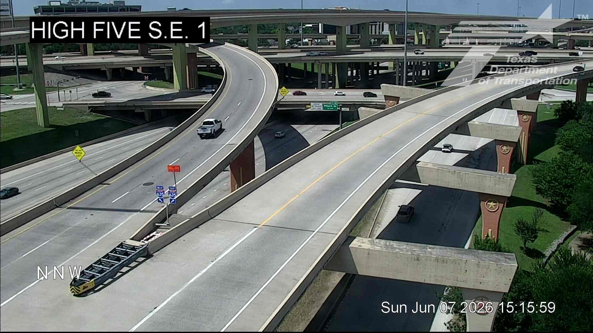
This traffic camera monitors US-75 in Dallas, Texas, with a northbound view.
Multiple National Weather Service alerts are active for this camera area. Review the alert details below before traveling through this corridor.
Current weather near this camera is dry, with clear sky and temperatures near 88.1 °F.
The live view is most useful for checking traffic flow, visibility, and any lane restrictions before driving through the Dallas area.
A later forecast includes precipitation, including heavy rain, so conditions may change after the current camera view.
Camera Information & Location Details
- Highway/Roadway
- US-75
- Traffic Direction
- North
- County
- Dallas
- City
- Dallas
- Feed Type
- Still Image
- Geographic Coordinates
- 32.92285, -96.76374
- Source Provider
- TxDOT
Real-Time Mapping
Active Weather Alert near this camera
Conditions are favorable for hazardous weather nearby, even if the current camera view looks calm.
Flood Watch
Flood Watch issued June 7 at 7:11AM CDT until June 7 at 4:00PM CDT by NWS Fort Worth TX
* WHAT...Flooding caused by excessive rainfall continues to be possible. * WHERE...A portion of north central Texas, including the following counties, Bosque, Collin, Cooke, Dallas, Denton, Ellis, Fannin, Grayson, Hill, Hood, Jack, Johnson, Montague, Parker, Somervell, Tarrant, Wise and Young. * WHEN...Until 4 PM CDT this afternoon. * IMPACTS...Excessive runoff may result in flooding of rivers, creeks, streams, and other low-lying and flood-prone locations. * ADDITIONAL DETAILS... - Rainfall amounts of 1 to 3 inches have occurred with localized rainfall totals as high as 5 to 6 inches which has caused flooding in numerous areas. Additional localized heavy rainfall amounts of 1 to 2 inches will continue to be possible in the watch area this morning. - http://www.weather.gov/safety/flood
You should monitor later forecasts and be alert for possible Flood Warnings. Those living in areas prone to flooding should be prepared to take action should flooding develop.
- Active until
- 2026-06-07 21:00:00 UTC
- Certainty
- Possible
- Area
- Montague; Cooke; Grayson; Fannin; Young; Jack; Wise; Denton; Collin; Parker; Tarrant; Dallas; Hood; Somervell; Johnson; Ellis; Bosque; Hill
Flood Advisory
Flood Advisory issued June 7 at 11:56AM CDT until June 7 at 2:00PM CDT by NWS Fort Worth TX
* WHAT...Flooding caused by excessive rainfall continues. * WHERE...Southwestern Collin County in north central Texas... Northwestern Dallas County in north central Texas... Southeastern Denton County in north central Texas... Northeastern Tarrant County in north central Texas... * WHEN...Until 200 PM CDT. * IMPACTS...Minor flooding in low-lying and poor drainage areas. Overflowing poor drainage areas. * ADDITIONAL DETAILS... - At 1156 AM CDT, Doppler radar and automated rain gauges indicated heavy rain due to thunderstorms. Minor flooding is ongoing or expected to begin shortly in the advisory area. Between 1 and 3 inches of rain have fallen. - Additional rainfall amounts up to 1 inch are expected over the area. This additional rain will result in minor flooding. - Some locations that will experience flooding include... Dallas, Arlington, Plano, Irving, Grand Prairie, Carrollton, Frisco, Richardson, Lewisville, Euless, Bedford, Grapevine, Coppell, Hurst, The Colony, Farmers Branch and Southlake. - http://www.weather.gov/safety/flood
Turn around, don't drown when encountering flooded roads. Most flood deaths occur in vehicles. Be aware of your surroundings and do not drive on flooded roads.
- Active until
- 2026-06-07 19:00:00 UTC
- Certainty
- Likely
- Area
- Collin, TX; Dallas, TX; Denton, TX; Tarrant, TX
Current Weather near traffic camera in Dallas, Texas
Clear sky
- Temperature
- 88.1 °F
- Feels Like
- 91.6 °F
- Humidity
- 60%
- Wind
- 13.7 mph
- Wind Direction
- SSW (201°)
- Precipitation
- 0.00 inch
Forecast
- Max
- 90.9 °F
- Min
- 73.1 °F
- Precip.
- 0.44 inch
- Status
- Heavy rain
- Max
- 94.2 °F
- Min
- 75.3 °F
- Precip.
- 0.00 inch
- Status
- Clear sky
- Max
- 94.7 °F
- Min
- 75.7 °F
- Precip.
- 0.00 inch
- Status
- Clear sky
Observed at: 2026-06-07 18:00 UTC (weather data updated hourly)
Nearby Cameras
High Five S.E. 1
Dallas
US-75
Direction: North
Distance: 0.0 miles
High Five S.W. 2
Dallas
I-635
Direction: East
Distance: 0.2 miles
High Five S.W. 2
Dallas
I-635
Direction: East
Distance: 0.2 miles
High Five S.E. 2
Dallas
US-75
Direction: North
Distance: 0.2 miles
High Five S.E. 2
Dallas
US-75
Direction: North
Distance: 0.2 miles
High Five S.W. 1
Dallas
I-635
Direction: East
Distance: 0.2 miles
High Five S.W. 1
Dallas
I-635
Direction: East
Distance: 0.2 miles
LBJ Express IH635 @ T.I. Blvd Crossover
Dallas
I-635
Direction: East
Distance: 0.2 miles
LBJ Express IH635 @ T.I. Blvd Crossover
Dallas
I-635
Direction: East
Distance: 0.2 miles