USRoadFeeds
Live-Feed
Live snapshot from LP323 @ AmericanLegion

Live Traffic Camera: LP323 @ AmericanLegion (South)

Unknown, Texas

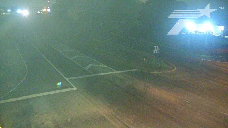
This traffic camera monitors LP-323 in Texas, with a southbound view.

A National Weather Service watch is active for this camera area, meaning hazardous weather may develop even if current conditions appear calm. See the alert details below before traveling.

Current weather near this camera is dry, with clear sky and temperatures near 69.3 °F.

The live view is most useful for checking traffic flow, visibility, and any lane restrictions before driving through the Smith County area.

Additional rain is expected over the next few days, which could keep pavement conditions variable in the Smith County area.

Camera Information & Location Details

Highway/Roadway
LP-323
Traffic Direction
South
County
Smith
City
Unknown
Feed Type
Still Image
Geographic Coordinates
32.38783, -95.26750
Source Provider
TxDOT
National Weather Service watch

Active Weather Alert near this camera

Conditions are favorable for hazardous weather nearby, even if the current camera view looks calm.

1 alert
Alert

Flood Watch

Severe Future

Flood Watch issued June 14 at 9:21PM CDT until June 16 at 7:00PM CDT by NWS Shreveport LA

Alert Details

* WHAT...Flooding caused by excessive rainfall is possible. * WHERE...Portions of Louisiana, including the following parishes, Bienville, Bossier, Caddo, Caldwell, Claiborne, De Soto, Grant, Jackson, La Salle, Lincoln, Natchitoches, Ouachita, Red River, Sabine, Union, Webster and Winn and Texas, including the following counties, Angelina, Cherokee, Gregg, Harrison, Marion, Nacogdoches, Panola, Rusk, Sabine, San Augustine, Shelby and Smith. * WHEN...Through Tuesday evening. * IMPACTS...Excessive runoff may result in flooding of rivers, creeks, streams, and other low-lying and flood-prone locations. Flooding may occur in poor drainage and urban areas. * ADDITIONAL DETAILS... - A weak surface front will remain stationary across East Texas and North Louisiana through Tuesday. Periods of showers and thunderstorms, some containing heavy rainfall, will develop tonight through Tuesday across the watch area. These showers and thunderstorms will be efficient rainfall producers, with rainfall amounts of 1 to 3 inches expected, with isolated higher amounts in excess of 5 inches possible, much of which may fall in a short period of time. Thus, the potential for at least localized flash flooding will exist across portions of East Texas and North Louisiana through Tuesday afternoon. - http://www.weather.gov/safety/flood

Recommended Action

You should monitor later forecasts and be alert for possible Flood Warnings. Those living in areas prone to flooding should be prepared to take action should flooding develop.

Active until
2026-06-17 00:00:00 UTC
Certainty
Possible
Area
Caddo; Bossier; Webster; Claiborne; Lincoln; Union; De Soto; Red River; Bienville; Jackson; Ouachita; Sabine; Natchitoches; Winn; Grant; Caldwell; La Salle; Marion; Smith; Gregg; Harrison; Cherokee; Rusk; Panola; Nacogdoches; Shelby; Angelina; San Augustine; Sabine

Current Weather near traffic camera in Unknown, Texas

Clear sky

Weather data provided by the USRoadFeeds Weather Network
Road Conditions in Unknown, Texas
Dry conditions likely
No active precipitation detected near this camera.
Temperature
69.3 °F
Feels Like
74.0 °F
Humidity
93%
Wind
4.6 mph
Wind Direction
ENE (61°)
Precipitation
0.00 inch


Forecast

Mon, Jun 15
Heavy rain
Max
75.8 °F
Min
69.0 °F
Precip.
0.52 inch
Status
Heavy rain
Tue, Jun 16
Moderate rain
Max
83.2 °F
Min
70.8 °F
Precip.
0.38 inch
Status
Moderate rain
Wed, Jun 17
Clear sky
Max
86.4 °F
Min
70.1 °F
Precip.
0.00 inch
Status
Clear sky

Observed at: 2026-06-15 10:00 UTC (weather data updated hourly)

Nearby Cameras