Live Traffic Camera: IH-10 @ Luling DMS (East)
Unknown, Texas
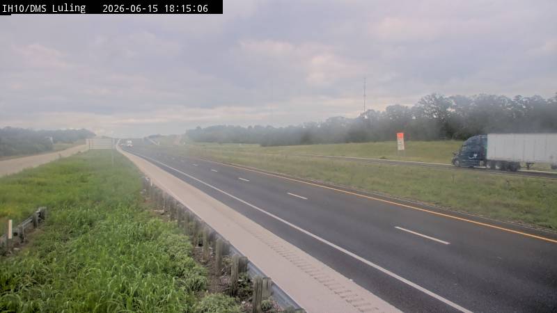
All cameras on I-10 in Texas →This traffic camera monitors I-10 in Texas, with a eastbound view.
Current weather near this camera is dry, with clear sky and temperatures near 88.6 °F.
The live view is most useful for checking traffic flow, visibility, and any lane restrictions before driving through the Caldwell County area.
A later forecast includes precipitation, including light rain, so conditions may change after the current camera view.
Camera Information & Location Details
- Highway/Roadway
- I-10
- Traffic Direction
- East
- County
- Caldwell
- City
- Unknown
- Feed Type
- Still Image
- Geographic Coordinates
- 29.65416, -97.56607
- Source Provider
- TxDOT
Real-Time Mapping
Current Weather near traffic camera in Unknown, Texas
Clear sky
- Temperature
- 88.6 °F
- Feels Like
- 92.9 °F
- Humidity
- 46%
- Wind
- 3.1 mph
- Wind Direction
- N (360°)
- Precipitation
- 0.00 inch
Forecast
- Max
- 104.4 °F
- Min
- 75.8 °F
- Precip.
- 0.04 inch
- Status
- Slight rain
- Max
- 105.9 °F
- Min
- 76.9 °F
- Precip.
- 0.00 inch
- Status
- Clear sky
- Max
- 105.9 °F
- Min
- 75.7 °F
- Precip.
- 0.00 inch
- Status
- Clear sky
Observed at: 2026-08-02 04:00 UTC (weather data updated hourly)
Nearby Cameras
IH 10 at US 183 (MM 632)
Luling
I-10
Direction: West
Distance: 1.6 miles
IH 10 at CR 217 (MM 626)
Unknown
I-10
Direction: West
Distance: 7.9 miles
IH-10 @ SH-304 - West of Waelder
Unknown
I-10
Direction: East
Distance: 9.0 miles
IH 10 at Guadalupe Rest Area EB (MM 621)
Unknown
I-10
Direction: East
Distance: 14.3 miles
IH 10 at Guadalupe Rest Area WB (MM 619)
Unknown
I-10
Direction: West
Distance: 14.7 miles
IH 10 at Cross Rd (MM 618)
Unknown
I-10
Direction: West
Distance: 15.0 miles
IH-10 @ SH-97 - Waelder
Unknown
I-10
Direction: East
Distance: 15.9 miles
IH 10 at SH 130 (MM 615)
Unknown
I-10
Direction: East
Distance: 18.8 miles
IH-10 @ Webb Rd - West of Flatonia
Unknown
I-10
Direction: East
Distance: 22.8 miles