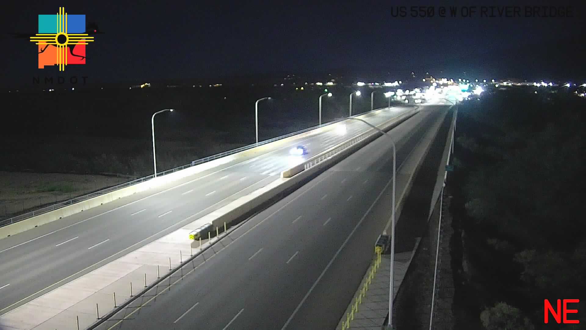
Live Traffic Camera: US 550 @ W of River Bridge (N/A)
Albuquerque, New Mexico
This traffic camera monitors Sandoval Lane in Albuquerque, New Mexico.
A National Weather Service warning is active for this camera area. Review the alert details below before traveling, especially if conditions on the live view change quickly.
Current weather near this camera is dry, with clear sky.
The live view is most useful for checking traffic flow, visibility, and any lane restrictions before driving through the Albuquerque area.
Camera Information & Location Details
- Highway/Roadway
- Sandoval Lane
- Traffic Direction
- N/A
- County
- Sandoval
- City
- Albuquerque
- Feed Type
- Live Video
- Geographic Coordinates
- 35.32265, -106.56014
- Source Provider
- NMRoads
Real-Time Mapping
Active Weather Alert near this camera
Hazardous weather is occurring or expected soon near this camera area.
Flash Flood Warning
Flash Flood Warning issued September 18 at 2:07AM MDT until September 18 at 5:00AM MDT by NWS Albuquerque NM
FFWABQ The National Weather Service in Albuquerque has issued a * Flash Flood Warning for... Southeastern Sandoval County in north central New Mexico... * Until 500 AM MDT. * At 207 AM MDT, Doppler radar and automated rain gauges indicated thunderstorms producing heavy rain across the warned area. Up to 1.5 inches of rain have fallen. The expected rainfall rate is 0.5 to 1 inch in 1 hour. Additional rainfall amounts up to 1 inch are possible in the warned area. Flash flooding is ongoing or expected to begin shortly. HAZARD...Flash flooding caused by thunderstorms. SOURCE...Radar and automated gauges. Rain gauges in the Placitas area indicate that between 1 and 2 inches fell within the past 2 hours. IMPACT...Flash flooding of small creeks and streams, urban areas, highways, streets and underpasses as well as other poor drainage and low-lying areas. * Some locations that will experience flash flooding include... Bernalillo, Corrales, Santa Ana Pueblo, Coronado State Monument, San Felipe Pueblo, Sandia Pueblo, Placitas and Algodones. This includes the following highways... Highway 550 between Mile Markers 1 and 2. Interstate 25 between Mile Markers 236 and 254.
Turn around, don't drown when encountering flooded roads. Most flood deaths occur in vehicles. Be especially cautious at night when it is harder to recognize the dangers of flooding.
- Active until
- 2026-09-18 11:00:00 UTC
- Certainty
- Likely
- Area
- Sandoval, NM
Current Weather near traffic camera in Albuquerque, New Mexico
Clear sky
- Temperature
- N/A °F
- Feels Like
- N/A °F
- Humidity
- N/A%
- Wind
- N/A mph
- Wind Direction
- N (N/A°)
- Precipitation
- 0.00 inch
Forecast
- Max
- N/A °F
- Min
- N/A °F
- Precip.
- N/A inch
- Status
- Clear sky
- Max
- N/A °F
- Min
- N/A °F
- Precip.
- N/A inch
- Status
- Clear sky
- Max
- N/A °F
- Min
- N/A °F
- Precip.
- N/A inch
- Status
- Clear sky
Observed at: 2026-09-18 08:00 UTC (weather data updated hourly)
Nearby Cameras
US 550 West @ NM 528
Albuquerque
US 550
Distance: 0.8 miles
US 550 East @ NM 528
Albuquerque
US 550
Distance: 0.8 miles
US 550 @ NM 313
Albuquerque
Isidro Sanchez Circle
Distance: 0.9 miles
I-25 SB @ US 550
Albuquerque
Placitas Trails Road
Distance: 1.5 miles
I-25 NB @ US-550
Albuquerque
Placitas Trails Road
Distance: 1.6 miles
I-25 @ Bernalillo
Albuquerque
I 25
Distance: 2.9 miles
I-25 NB @ Bernalillo
Albuquerque
I 25
Distance: 2.9 miles
NM 528 @ Ridgecrest Dr.
Albuquerque
El Puno Court Southeast
Distance: 6.9 miles
NM 528 @ High Resort Blvd
Albuquerque
El Puno Court Southeast
Distance: 7.3 miles