Live Traffic Camera: I-35 S @ S of 95TH ST (N/A)
Lenexa, Kansas
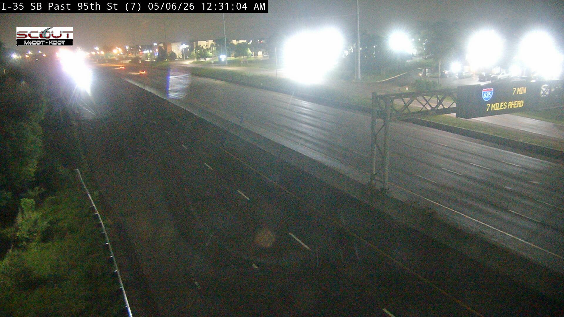
All cameras on I-35 in Kansas →This traffic camera monitors I-35 in Lenexa, Kansas.
Current weather near this camera is dry, with clear sky and temperatures near 84.8 °F.
The live view is most useful for checking traffic flow, visibility, and any lane restrictions before driving through the Lenexa area.
Camera Information & Location Details
- Highway/Roadway
- I-35
- Traffic Direction
- N/A
- County
- Johnson
- City
- Lenexa
- Feed Type
- Still Image
- Geographic Coordinates
- 38.95136, -94.73755
- Source Provider
- KC Scout
Real-Time Mapping
Current Weather near traffic camera in Lenexa, Kansas
Clear sky
Road Conditions in Lenexa, Kansas
Dry conditions likely
No active precipitation detected near this camera.
- Temperature
- 84.8 °F
- Feels Like
- 86.9 °F
- Humidity
- 48%
- Wind
- 6.1 mph
- Wind Direction
- N (356°)
- Precipitation
- 0.00 inch
Forecast
Sun, Aug 2
Clear sky
- Max
- 86.3 °F
- Min
- 64.8 °F
- Precip.
- 0.00 inch
- Status
- Clear sky
Mon, Aug 3
Clear sky
- Max
- 87.5 °F
- Min
- 66.8 °F
- Precip.
- 0.00 inch
- Status
- Clear sky
Tue, Aug 4
Clear sky
- Max
- 93.8 °F
- Min
- 67.0 °F
- Precip.
- 0.00 inch
- Status
- Clear sky
Observed at: 2026-08-02 19:00 UTC (weather data updated hourly)
Nearby Cameras
I-35 S @ BEFORE I-435
Lenexa
I-35
Distance: 0.3 miles
I-35 S @ 95th St
Lenexa
I-35
Distance: 0.3 miles
I-35 S @ QUIVIRA RD
Lenexa
I-35
Distance: 0.9 miles
I-35 S @ I-435
Lenexa
I-35
Distance: 1.0 miles
I-435 W @ Before Lackman
Lenexa
I-435
Distance: 1.0 miles
I-435 E @ E OF I-35
Overland Park
I-435
Distance: 1.2 miles
I-435 E @ QUIVIRA RD
Overland Park
I-435
Distance: 1.4 miles
I-435 W @ Lackman Road
Lenexa
I-435
Distance: 1.4 miles
I-435 E @ Lackman Road
Lenexa
I-435
Distance: 1.4 miles