USRoadFeeds
Live-Feed
Live snapshot from K-10 WB past Cedar Creek Parkway

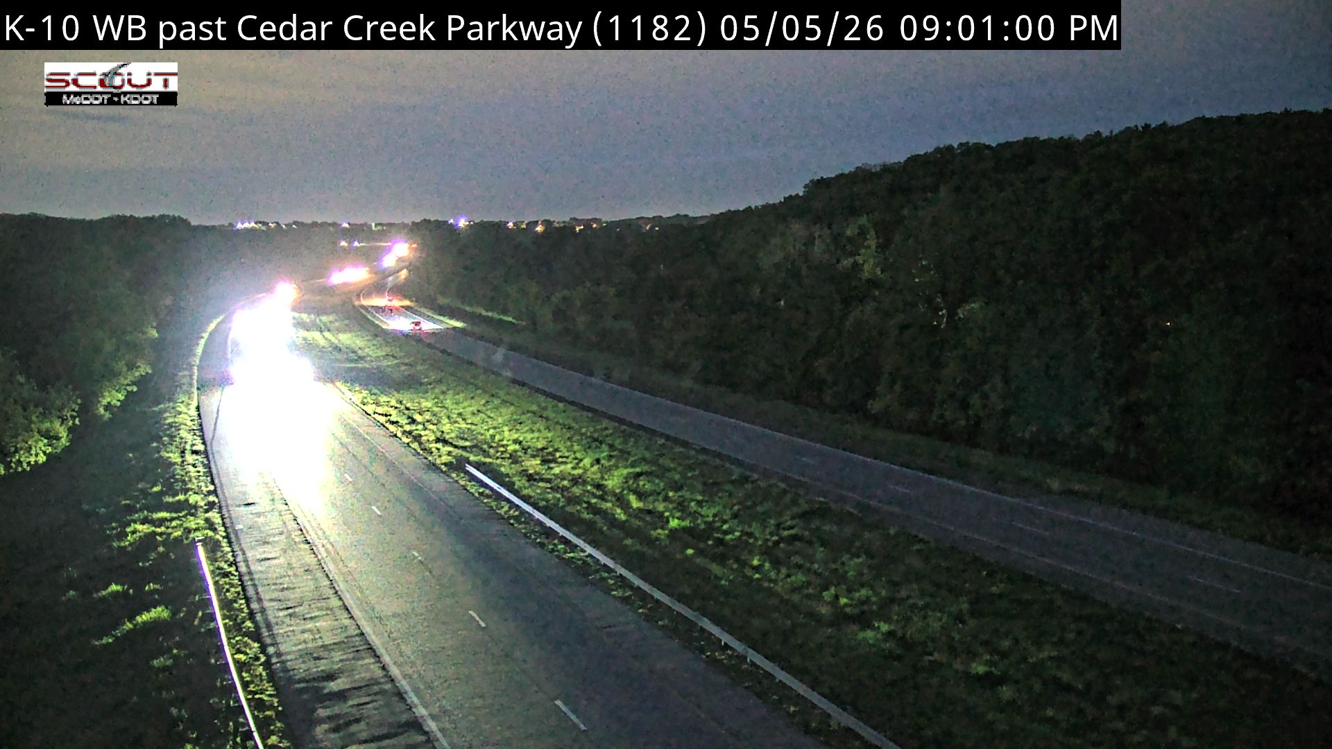
Live Traffic Camera: K-10 WB past Cedar Creek Parkway (N/A)

De Soto, Kansas

This traffic camera monitors KS 10 in De Soto, Kansas.

A National Weather Service watch is active for this camera area, meaning hazardous weather may develop even if current conditions appear calm. See the alert details below before traveling.

Current weather near this camera is dry, with clear sky and temperatures near 91.1 °F.

The live view is most useful for checking traffic flow, visibility, and any lane restrictions before driving through the De Soto area.

A later forecast includes precipitation, including light rain, so conditions may change after the current camera view.

Camera Information & Location Details

Highway/Roadway
KS 10
Traffic Direction
N/A
County
Johnson
City
De Soto
Feed Type
Still Image
Geographic Coordinates
38.95588, -94.91455
Source Provider
KC Scout
National Weather Service watch

Active Weather Alert near this camera

Conditions are favorable for hazardous weather nearby, even if the current camera view looks calm.

1 alert
Alert

Severe Thunderstorm Watch

Severe Future

Severe Thunderstorm Watch issued June 17 at 2:36PM CDT until June 17 at 10:00PM CDT by NWS Kansas City/Pleasant Hill MO

Alert Details

THE NATIONAL WEATHER SERVICE HAS ISSUED SEVERE THUNDERSTORM WATCH 343 IN EFFECT UNTIL 10 PM CDT THIS EVENING FOR THE FOLLOWING AREAS IN KANSAS THIS WATCH INCLUDES 5 COUNTIES IN EAST CENTRAL KANSAS JOHNSON LINN MIAMI IN NORTHEAST KANSAS LEAVENWORTH WYANDOTTE IN MISSOURI THIS WATCH INCLUDES 24 COUNTIES IN CENTRAL MISSOURI COOPER HOWARD PETTIS SALINE IN NORTH CENTRAL MISSOURI CALDWELL CARROLL CHARITON LINN LIVINGSTON MACON RANDOLPH SULLIVAN IN NORTHEAST MISSOURI ADAIR SCHUYLER IN NORTHWEST MISSOURI CLINTON IN WEST CENTRAL MISSOURI BATES CASS CLAY HENRY JACKSON JOHNSON LAFAYETTE PLATTE RAY THIS INCLUDES THE CITIES OF ADRIAN, BELTON, BOONVILLE, BRAYMER, BRECKENRIDGE, BROOKFIELD, BRUNSWICK, BUTLER, CAMERON, CARROLLTON, CHILLICOTHE, CLINTON, CONCORDIA, DOWNING, EXCELSIOR SPRINGS, FAYETTE, FORT LEAVENWORTH, GLADSTONE, GLASGOW, GLENWOOD, GREEN CITY, GREENTOP, HAMILTON, HARRISONVILLE, HIGGINSVILLE, INDEPENDENCE, KANSAS CITY, KANSAS CITY KANSAS, KEARNEY, KEYTESVILLE, KIRKSVILLE, LA CYGNE, LA PLATA, LANCASTER, LANSING, LATHROP, LAWSON, LEAVENWORTH, LENEXA, LEXINGTON, LIBERTY, LOUISBURG, MACON, MARCELINE, MARSHALL, MILAN, MOBERLY, MOUND CITY, NEW FRANKLIN, ODESSA, OLATHE, OSAWATOMIE, OVERLAND PARK, PAOLA, PARKVILLE, PLATTE CITY, PLATTSBURG, PLEASANT HILL, PLEASANTON, POLO, QUEEN CITY, RAYMORE, RICH HILL, RICHMOND, RIVERSIDE, SALISBURY, SEDALIA, SHAWNEE, STANLEY, WARRENSBURG, WEATHERBY LAKE, WESTON, AND WINDSOR.

Active until
2026-06-18 03:00:00 UTC
Certainty
Possible
Area
Johnson, KS; Leavenworth, KS; Linn, KS; Miami, KS; Wyandotte, KS; Adair, MO; Bates, MO; Caldwell, MO; Carroll, MO; Cass, MO; Chariton, MO; Clay, MO; Clinton, MO; Cooper, MO; Henry, MO; Howard, MO; Jackson, MO; Johnson, MO; Lafayette, MO; Linn, MO; Livingston, MO; Macon, MO; Pettis, MO; Platte, MO; Randolph, MO; Ray, MO; Saline, MO; Schuyler, MO; Sullivan, MO

Current Weather near traffic camera in De Soto, Kansas

Clear sky

Weather data provided by the USRoadFeeds Weather Network
Road Conditions in De Soto, Kansas
Dry conditions likely
No active precipitation detected near this camera.
Temperature
91.1 °F
Feels Like
96.3 °F
Humidity
60%
Wind
13.9 mph
Wind Direction
WSW (246°)
Precipitation
0.00 inch


Forecast

Wed, Jun 17
Slight rain
Max
91.1 °F
Min
66.3 °F
Precip.
0.04 inch
Status
Slight rain
Thu, Jun 18
Clear sky
Max
80.3 °F
Min
61.8 °F
Precip.
0.00 inch
Status
Clear sky
Fri, Jun 19
Clear sky
Max
78.7 °F
Min
58.0 °F
Precip.
0.00 inch
Status
Clear sky

Observed at: 2026-06-17 20:00 UTC (weather data updated hourly)

Nearby Cameras